Ballindoon Abbey in the Snow, Ireland
Winter’s sunrise on a crisp, snowy morning. The crunch of frosted snow underfoot, the tiny green sprouts pushing through the centimetre of spring snow, confused and searching for sun, like the rest of the island. There’s little more beautiful in Ireland than a stunning winter’s day, and though it can be a little chilly, temperatures rarely drop below 0º Celsius (that’s 32º Fahrenheit). Ballindoon Abbey (or priory) is a magical little ruin in Co Sligo, on the quiet shores of Lough Arrow, a place once renowned for fishing, and now largely left to its own devices. Like most abbeys in Ireland, this edifice pre-dates the 16th-century Cromwellian invasion, though only by 100 or so years (work commenced 1507, Cromwell showed up en masse with his army of butchers in 1649, leaving a trail of destruction everywhere he went). Today, like most similar spots, Ballindoon’s graveyard and abbey are the perfect place for tranquility, inward reflection, and remembrance. In Irish, ‘bally‘ means ‘town’ and ‘dun or doon’ means ‘stone fort’ – referring to the McDonagh’s towerhouse that used to stand in a neighbouring field. It’s all but gone now, like so much Irish heritage. But the abbey? Ivy covered, lonely, and forgotten, she stands proud on a backdrop of pastoral lakeside charm, the picture of an 18th century Romantic scene, elegant in her slow but beautiful decay.
Top tip: Hungry? Check out McDermott’s Pub just down the road, a piece of living heritage in a region of charm and modernity.
Fall in Love with South Sligo
- Inside Ballindoon Abbey
- Carrowkeel
- Temple House
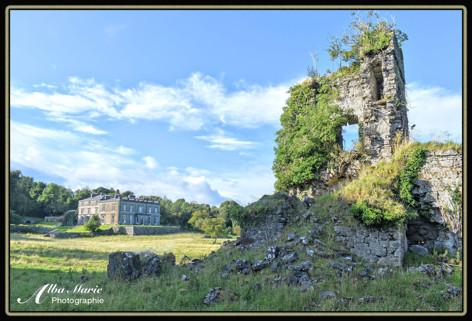
- Castlebaldwin Castle
- Caves of Keash
- Hag of Beara’s House – Neolithic Tomb
- Moygara Castle
Visit all of the above within a 15-km range.